
I woke up this morning wanting to rip someone's face off. I needed to exercise. This sitting in a car thing is killing me, and unless I'm hiking 15 miles a day I'm not gonna keep the crazy away. Luckily, the hotel Siena Spa and Casino (Reno, NV) where we stayed last night had a gym, which had a treadmill. I jogged out the demons for about 30 minutes before heading to breakfast. I should be good for a few hours.
We've spent a lot of time focusing on logistics the past two days, but we finally have a new plan in place. We're heading back down South to National Park hop our way through Utah and across southern Colorado. But before we left the evergreen trees of beautiful Northern California we spent the night in Trinity-Shasta National Forest with the hope of getting some better views of Mt. Shasta. I say hope because a storm was rolling in, smothering Mt. Shasta in a swirl of grey and white.
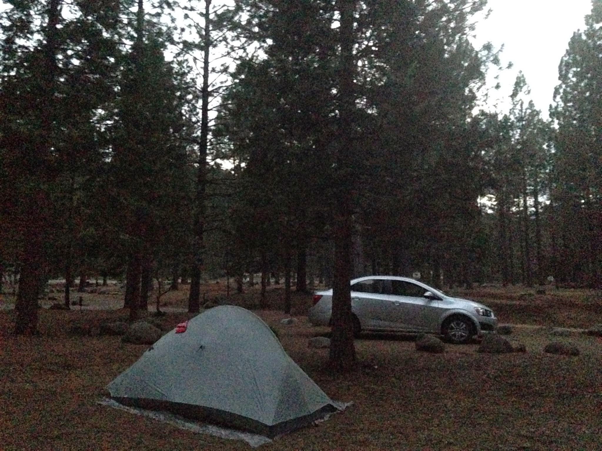
As nightfall swooped in it brought with it some heavy winds. The pine needles thrashed together above our heads, sounding like a freight train barrling down a canyon. Rain and snow bounced of the tent like little kids on a trampoline. Sleep did not come easy, but we stayed dry and warm in our cozy green dome of sil - nylon.

Our campsite for the evening
We spent the morning hiking along the McCloud River, visiting waterfalls and stopping ocassionally to fish. Middle Falls was my favorite, just a wall of furry cutting through the valley floor.

McCloud Falls (clockwise): Upper Falls, Lower Falls, Middle Falls

Rainbow Trout
Shasta was still shrouded in a swirl of white when we finished the hike, but we spent dome time at a view point planning out the after noon. Our patience paid off. Before stopping at a local diner for lunch the clouds cleared allowing for a picture perfect view of the 14,000 ft. towering volcano. Pictures honestly don't do it justice.

Mt. Shasta in a Cloud

Perfect view of Mt. Shasta
We took CA Hwy 89 South which brought us along the northeastern side of Lassen Volcano, and through reminents of the Sugarloaf fire that charred 9,356 acres of Hat Creek Valley in 2009. There was a forest Service view point that we drove up into that gave us spectacular views of Shasta Shasta to Shasta to one side and Lassen to the other. The PCT also cut right through the area.

View of Mt. Shasta from the Pacific Crest Trail

Lassen Volcano, visible from the Pacific Crest Trail, same location as the above photo of Shasta.
We've spent a lot of time focusing on logistics the past two days, but we finally have a new plan in place. We're heading back down South to National Park hop our way through Utah and across southern Colorado. But before we left the evergreen trees of beautiful Northern California we spent the night in Trinity-Shasta National Forest with the hope of getting some better views of Mt. Shasta. I say hope because a storm was rolling in, smothering Mt. Shasta in a swirl of grey and white.
As nightfall swooped in it brought with it some heavy winds. The pine needles thrashed together above our heads, sounding like a freight train barrling down a canyon. Rain and snow bounced of the tent like little kids on a trampoline. Sleep did not come easy, but we stayed dry and warm in our cozy green dome of sil - nylon.
We spent the morning hiking along the McCloud River, visiting waterfalls and stopping ocassionally to fish. Middle Falls was my favorite, just a wall of furry cutting through the valley floor.


Shasta was still shrouded in a swirl of white when we finished the hike, but we spent dome time at a view point planning out the after noon. Our patience paid off. Before stopping at a local diner for lunch the clouds cleared allowing for a picture perfect view of the 14,000 ft. towering volcano. Pictures honestly don't do it justice.


We took CA Hwy 89 South which brought us along the northeastern side of Lassen Volcano, and through reminents of the Sugarloaf fire that charred 9,356 acres of Hat Creek Valley in 2009. There was a forest Service view point that we drove up into that gave us spectacular views of Shasta Shasta to Shasta to one side and Lassen to the other. The PCT also cut right through the area.


No comments:
Post a Comment